


An LVIA seeks to answer the following questions:
- What are the elements, features and characteristics of a landscape (the receiving environment) that make the area different from other areas, i.e. that determine its character?
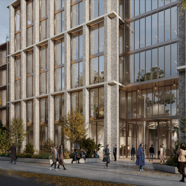
- In an urban area, this involves consideration of ● the land use pattern (historic, current, future) ● era of development ● urban grain ● plot and building typologies ● massing and height of buildings ● architecture and materials ● cultural historic features and designations ● quality and condition of the built environment ● vegetation and other green or blue infrastructure ● aesthetic factors, etc.
- In rural areas the considerations include ● landform and drainage ● the land use pattern (the mix of agriculture, forestry, extractive industry, tourism, conservation, other activities) ● field pattern ● vegetation cover ● environmental designations ● settlement and transport patterns ● cultural historic features ● aesthetic factors, etc.
- It is the combination of these (and other) factors that make one area of landscape (or townscape) different from another.
- What is the value of that landscape character, and which elements, features or characteristics are sensitive to change?
- What changes would the proposed development cause to those elements, features and characteristics of the landscape, thereby affecting its character?
- What is the significance of that change in landscape character (and related visual amenity), and should mitigation measures be incorporated into the development to reduce the impact?
The ultimate aim of an LVIA is to inform and influence the planning authorities (and other interested parties), leading to planning decisions that optimise the value of the landscape as an environmental, social and economic resource.
A good LVIA carried out in parallel with the design/planning process (and with a cooperative design team!), can also positively influence the design of development, smoothing the path to planning permission.


LVIA Methodology
The European Landscape Convention defines landscape as “an area, as perceived by people, whose character is the result of the action and interaction of natural and/or human factors”.
When something is ‘perceived’ by people, it is subject to variations in their attitudes and values.
For example, one person might perceive a desert landscape as beautiful, while another might see it as barren. One person might perceive a wind turbine as elegant and progressive, while another sees it as an industrial intrusion in the landscape.
LVIA seeks to break down the subjective consideration of landscape and visual impacts into a rational, reasoned assessment. It does this by following a structured method common to the assessment of all EIA topics, i.e. (1) describing the baseline, (2) describing the proposed development, (3) predicting the changes to the baseline which would be caused by the proposed development, (4) assessing the significance of those changes, (5) recommending mitigation measures if required. To supplement general EIA methodology, topic-specific guidance is provided by the Guidelines for Landscape and Visual Impact Assessment, 3rd Edition, 2013 (published by the UK Landscape Institute and the IEMA).
A typical LVIA report, or LVIA chapter in an EIA Report, includes the following content:
- Introduction, including explanation of the LVIA methodology, terms and criteria, etc.
- Description of the receiving environment. This takes the form of a landscape or townscape character assessment, analysing the various factors that determine the character of the receiving environment, and identifying the key potential receptors of change.
- Relevant policy. It is important to understand the planning policy pertaining to the area or the development type in question. It may be that it is a policy to preserve an area from change, or promote a form of development in an area. This must be considered as (a) it is an expression of local or national democracy, and (b) it informs the assessment of sensitivity of the potentially affected area.
- Description of the proposed development. The development is described, with a focus on those elements or aspects of most relevance to the landscape, for example the layout, the height and massing of buildings, architecture and materials, the landscape proposals, etc.
- Assessment of visual impacts:
- A number of representative viewpoints are selected (representing the key areas and groups of people in the receiving environment), and each viewpoint is assessed informed by verified photomontages.
- The existing/baseline view is described, and its sensitivity classified.
- The proposed changes to the view are identified, and classified in terms of magnitude of change.
- These two factors are combined to arrive at an assessment of significance of the visual effect (e.g. slight, moderate, significant, etc.), and its quality (i.e. can the change to the view be considered positive, negative or neutral).
- Applying this method to a range of viewpoints around the site gives an overall impression of the potential effects on the visual amenity of the receiving environment. The selection of viewpoints is very important. All of the main receptors – and particularly the sensitive receptors such as nearby homes, protected views, etc. – must be addressed. The LVIA must therefore explain/justify the viewpoint selection so that the planning authorities can be confident that the LVIA is comprehensive and fair. This is in the interest of all parties to the planning application.
- Assessment of landscape/townscape impacts:
- Based on a detailed description of the receiving environment and analysis of relevant policy, the sensitivity of the landscape is classified.
- The potential changes to the main elements, features and characteristics of the landscape are identified, and classified in terms of magnitude of change.
- These two factors are combined to arrive at an assessment of significance of the effect on landscape character, and its quality.
- Recommended mitigation measures. If required, measures to avoid, reduce or ameliorate any identified negative landscape or visual impacts are recommended.
- Conclusions. Conclusions are drawn as to the appropriateness of the proposed development based on its potential landscape and visual impacts.
LVIA must be carried out by a competent professional, specifically a qualified Landscape Architect (e.g. Members of the Irish Landscape Institute, or the UK Landscape Institute). This is important as the process requires a thorough understanding of (a) the concept and components of landscape/townscape, (b) design, (c) planning policy and the planning process, (d) EIA, as well as (e) good writing and illustration/mapping skills.
Model Works’s LVIA team is lead by Richard Butler MILI MIPI, a Landscape Architect and Town Planner with over 25 years’ experience in environmental planning and design.
Richard has prepared LVIA for residential, office, retail and mixed use projects (including new urban quarters and tall buildings), wind and solar farms, roads, railways and bridges, water infrastructure, quarries and tourism developments. He has appeared as LVIA expert witness in oral hearings, and provided lectures at 3rd level institutions in LVIA, Green Infrastructure and Ecosystem Services.
Notable LVIA Projects
- Guinness Quarter, mixed use urban quarter including tall buildings and extensive new public realm alongside retained and repurposed protected structures, Dublin 2022;
- Project Montrose high density residential scheme and hotel in tall building on former RTE campus lands, Dublin, 2022;
- Connolly Station Quarter (Project Arc) including tall buildings and extensive new public realm alongside retained protected structures, Dublin, 2020-2022;
- E3 Learning Centre, Trinity College, a contemporary development in a highly sensitive historic campus setting, requiring the removal of a 19th century building, Dublin, 2019;
- St Vincent’s Hospital Redevelopment, Fairview including new mental health services facility and high density residential neighbourhood on former institutional lands, 2023;
- O’Devaney Gardens high density residential neighbourhood including tall buildings (up to 14 no. storeys) on former inner suburban Council site, 2021;
- Ceannt Station lands (Augustine Hill) mixed use urban quarter including tall buildings and extensive new public realm alongside retained protected structures, Galway, 2021.
We carry out LVIA not only for the biggest and most challenging urban and infrastructure projects, but also projects requiring a different perspective, including extensions or modifications to sensitive buildings and spaces, etc. If you have a project requiring a professional, comprehensive and sophisticated assessment of landscape/townscape and visual impacts, get in touch.

